What drone photography services include
A drone photography service is more than a pilot with a camera. The work usually begins before anyone leaves the ground: reviewing the site, identifying the angles and elevations that matter, choosing a time of day when the light and the activity line up, and confirming where the aircraft can be flown safely.
On site, the capture itself is a sequence of deliberate passes rather than a single hover. A provider will typically fly a few altitudes and directions to get a clean establishing view, then move closer for detail, then repeat the pattern if the light or the subject changes. Still photography and video are often captured in the same visit, which is why a shoot can take an hour or more even when the final file list looks short.
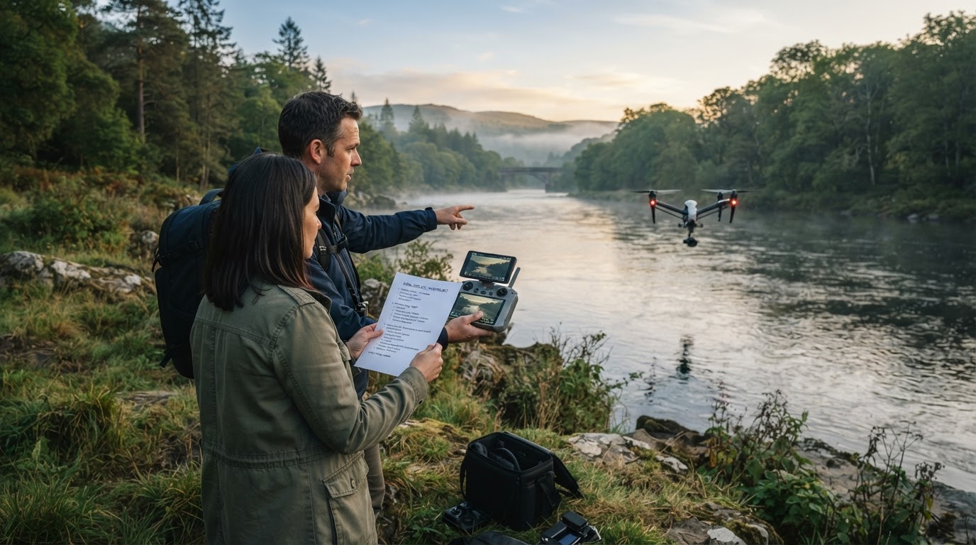
After the flight comes the part clients underestimate: editing. Aerial files usually need exposure balancing, color work, straightening, and retouching before they are usable in a layout. Some providers also deliver a short edited video cut rather than raw clips, and some include titles or captions.
Scope varies, and that variation is the main reason quotes are hard to compare. One provider might quote capture only and hand over unedited files; another might include planning, editing, delivery, and a written usage license in a single engagement. Two prices that look similar can cover very different amounts of work. Ask for the scope and the deliverable list in writing before you compare anything.
Common use cases and what each one needs
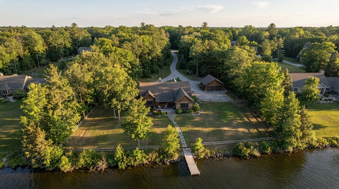
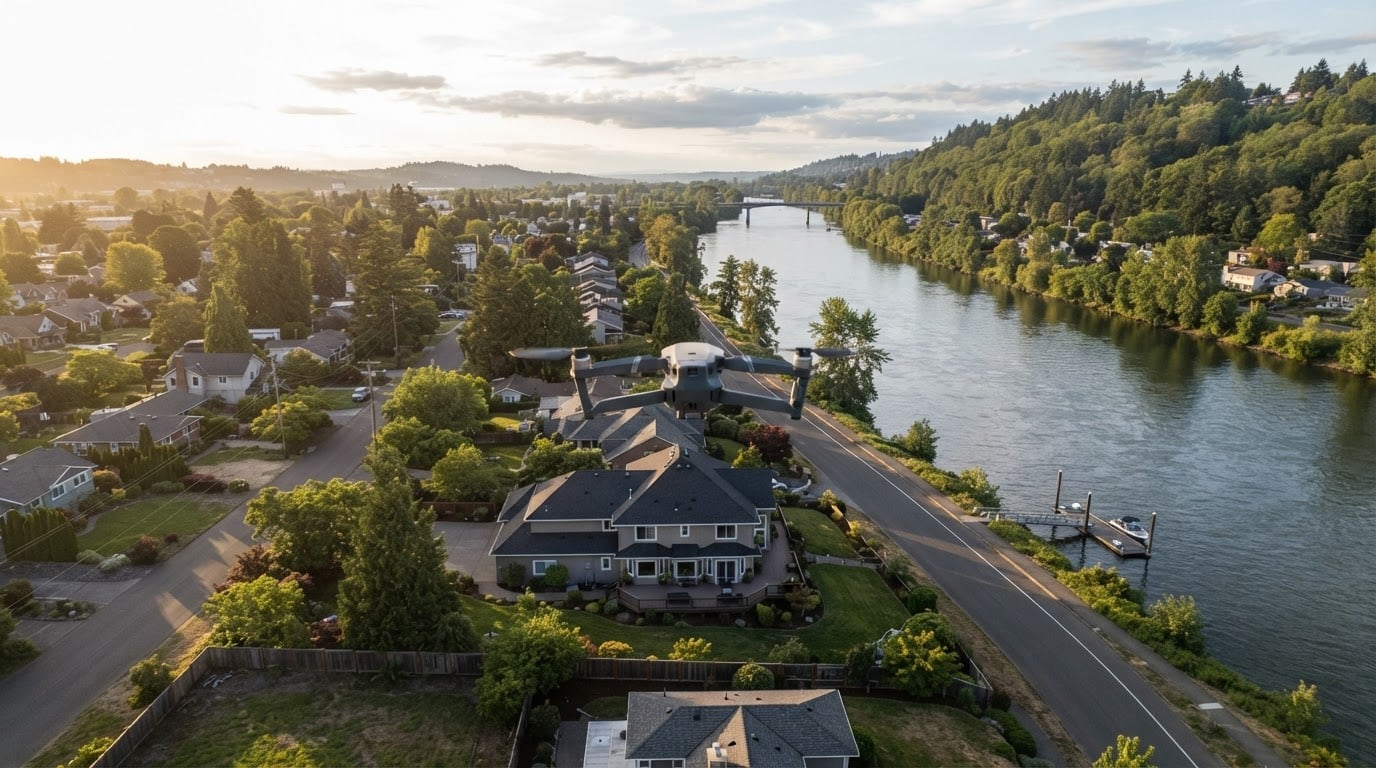
Property and site documentation. Aerial views show a property in its surroundings in a way ground photography cannot. A riverfront parcel, for example, reads differently when the flight documents the relationship between the building, the water, and the access roads. This use case rewards consistency most: the same angles repeated across seasons or project stages.
Tourism and destination marketing. Coastal landmarks, town centers, and rural landscapes look different from the air, and destination campaigns use that difference to sell a place rather than a single building. The work depends on timing. A coastline at midday and the same coastline in low sun are two different photographs, and the second is usually the one that gets used.
Business and facility overviews. Companies use aerial stills and short video to show a campus, a yard, or a production site in context — for a website, a recruiting page, or an investor presentation. The key question is what the footage is meant to prove, because that determines which angles are worth flying and how much of the site needs to be in frame.
Events, venues, and promoters. Outdoor festivals, races, and venue surroundings benefit from wide views that hold a crowd and a site in one frame. This is the most schedule-sensitive category: the window is the event itself, so weather contingency and permission to fly over a gathering matter as much as the camera.
Editorial and print. Elevated perspectives work as standalone images too — a top-down of a bridge, a winding road, or a shoreline. For print use, resolution and careful post-production matter more than the number of frames delivered.
What you should receive: deliverables and handoff
Deliverables are where expectations quietly drift apart. Before the shoot, agree on:
- Still images. How many finished files, at what resolution, in which file formats, and edited to what level. Ask whether previews are watermarked and whether unedited originals are included or excluded.
- Video. Whether you receive raw clips, a rough assembly, or a fully edited cut; the intended runtime and orientation; and whether music, titles, or captions are part of the job.
- Organization. File naming, folder structure, and how the files are delivered — download link, drive, or archive — plus how long they stay available.
- Timeline. When previews arrive, how many revision rounds are included, and when the final files are due.
- Rights summary. A short written statement of what you are allowed to do with the files. This is the item most often missing and the most expensive to fix later.
If a deliverable is not named in the agreement, assume it is not included.
Licensing basics: the terms that outlast the shoot
Buying drone photography is usually licensing usage, not buying the photograph outright. The price covers a defined set of permissions, and the details of that definition matter more than the headline number.
A usable license answers a short list of questions:
- Term. How long may you use the images — one campaign, one year, or indefinitely?
- Media and placement. Website, social, print, broadcast, paid advertising, packaging, or merchandise. Each is normally a separate permission.
- Territory. Where the images may be used, and whether that includes markets you may expand into later.
- Exclusivity. Whether the same location or subject can be licensed to others nearby or in the same category, and for how long.
- Edits. Whether you may crop, retouch, or combine the images, and whether alterations need approval.
- Credit and sublicensing. Whether a credit line is required, and whether you may pass files to contractors, agencies, or partners.
- Renewals and past use. What happens when the term ends, and how retroactive or continued use is handled.
Get the answers in writing before the shoot, not after. If your plans change — a new market, a longer campaign, a larger print run — ask for an updated license rather than using the files on an assumption. A short written scope now is cheaper than a dispute later.
Trade-offs and limits worth planning around
Aerial photography has real constraints, and planning around them is what separates a smooth shoot from an expensive reshoot.
- Weather and light. Flights depend on wind, rain, and visibility, and good light arrives in narrow windows. Build a backup date into the schedule rather than treating it as an emergency.
- Airspace and site access. Not every location can be flown, and some require advance coordination or landowner permission. Confirm this early, because it can change the whole plan.
- Flight endurance. A single battery gives a limited working time, so large sites may need multiple flights, staging points, or a second visit.
- Resolution versus coverage. A wider view captures more context but less fine detail; a closer pass captures detail but loses the sense of place. Decide which one the final use needs before the shoot.
- Editing limits. Exposure and color can be corrected; a wrong angle, motion blur, or a missing frame usually cannot.
- Privacy and disruption. People, private property, and sensitive sites deserve a plan, not an afterthought — especially at events.
None of these limits make aerial work a bad choice. They make pre-production the most valuable part of it, and they are the questions a good provider will raise before you do.
How to choose a drone photography provider
Compare providers on the work that matches your use case, not on the size of their general portfolio.
- Look for relevant aerial work. A strong ground portfolio does not prove aerial skill. Ask for examples of the same kind of scene — a coastline, a campus, a venue, a property — and look at the composition, not just the resolution.
- Ask how flights are planned. Good providers talk about light, angles, safety, and access before they talk about equipment.
- Confirm the paperwork. Ask how they handle flight permissions and site access for your location, which certifications apply to the work, and whether they carry insurance. A provider who answers these questions clearly is usually the same one who plans the shoot clearly.
- Compare licensing, not just price. A lower quote that excludes editing, delivery, or usage rights is rarely the cheaper option.
- Check the deliverable list. Match it against the list in this guide, and ask what happens if weather cancels the first date.
- Ask about local coverage. If your site is far from the provider's usual area, travel time and familiarity with the location both affect the result.
If you are sourcing drone photography in New England, Chris Sidoruk Media is one studio that lists Drone Photography & Video among its professional service lines alongside its ground-based photography, with aerial views of locations such as the Housatonic River, the Shelton riverfront, and the Marginal Way coastline appearing in its print catalog. That combination — aerial capture inside a broader photography practice — is worth asking about directly, whether you approach this studio or another.
How to prepare for a drone shoot
Preparation is mostly a short list of decisions you can make before the provider arrives.
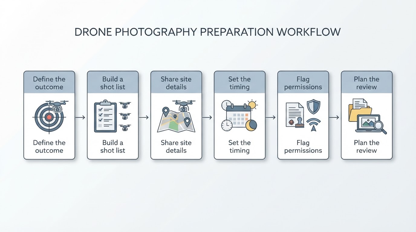
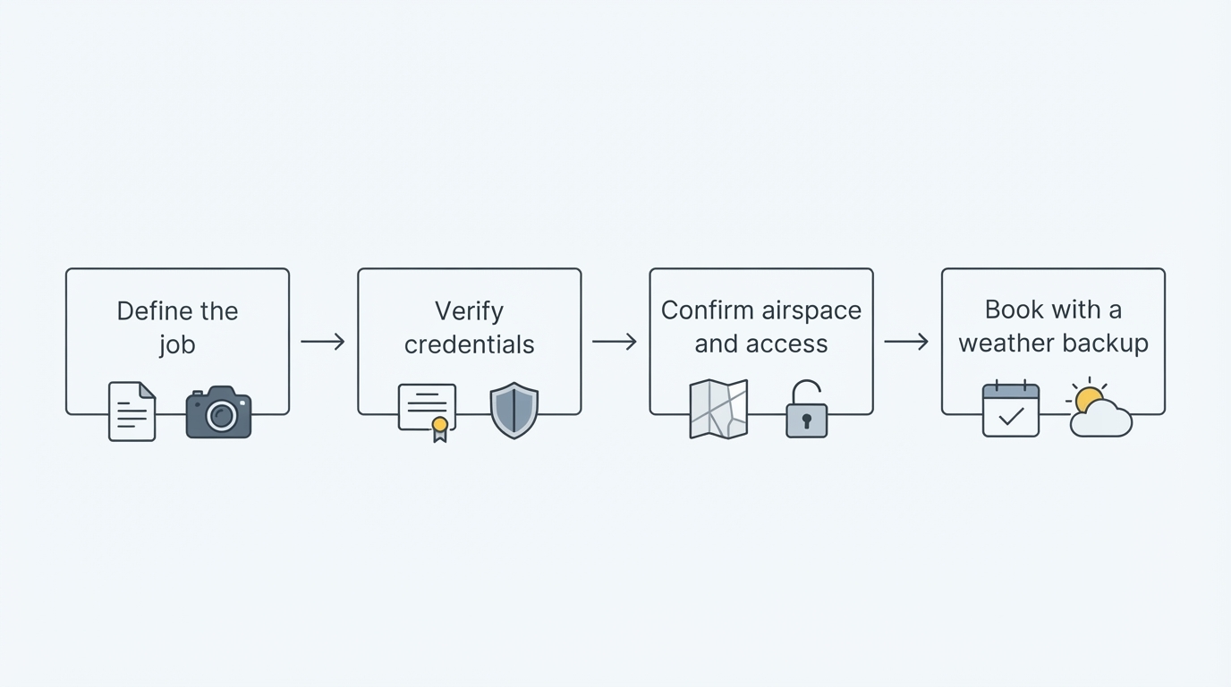
- Define the outcome. Write one sentence describing what the images must accomplish, and share it. "Show the riverfront parcel in its setting for a listing page" is more useful than "get some aerial shots."
- Build a shot list. List the specific views, elevations, and moments that matter, and rank them. Providers can improvise, but they cannot guess your priorities.
- Share site details. Access points, parking, where a pilot can stand, known obstacles, and the name of the person on site who can answer questions.
- Set the timing. Time of day, expected weather window, and a backup date. Confirm how a cancellation is decided and communicated.
- Flag permissions early. Let the provider know about private property, events, crowds, or anything sensitive so access can be arranged in advance.
- Confirm the paperwork before the flight. Deliverables, license terms, and the delivery method, all in writing.
- Plan the review. Decide who approves the selects, how many revision rounds you expect, and when the final files are needed.
A shoot that follows this list usually ends with usable files and no surprises. The flight itself is short. The decisions around it are what determine whether the images are right.