What real estate drone photography covers
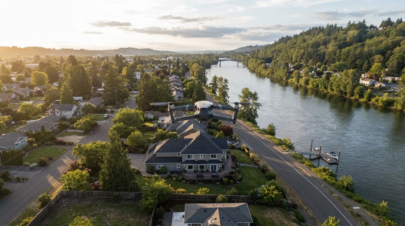
A drone shoot is an exterior and context job. It shows a house, a lot, or a parcel of land from a viewpoint no ground camera can reach, and it usually produces four kinds of material.
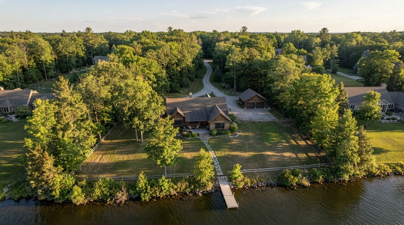
- Aerial stills of the property and its setting. The roofline, lot shape, driveway, outbuildings, and the way the property sits against woods, water, farmland, or neighboring lots.
- Aerial video. A short approach, orbit, or reveal that carries the same context in motion, for a listing video or a social clip.
- Land and acreage documentation. For vacant lots, farms, and large parcels, aerial images often do work a floor plan cannot: boundaries, access points, terrain, and the adjacent land uses.
- Progress documentation. Builders, developers, and property managers use repeat flights to record site work or construction over time.
Some providers also offer stitched or measured views for site planning. Ask rather than assume, because that work calls for different equipment and skills than a listing shoot.
What the work is not: it rarely replaces interior photography, floor plans, or detail shots. Aerial images answer "where is this, and what surrounds it?" far better than they answer "what is it like inside?"
Why listings use aerial images
The value is context, and context changes how a buyer reads a property.
Setting becomes visible. A house that looks ordinary from the street can look entirely different from above. It backs onto a pond, sits a short walk from a rail trail, or holds a larger lot than the frontage suggests. Aerial images put those facts in front of a buyer in the first seconds of browsing.
Land listings depend on it. For vacant land, farms, and acreage, the boundary, the access, and the terrain are the listing. Ground photos of a field all look alike; an aerial view shows what is actually for sale.
Remote buyers can screen earlier. Buyers who are relocating or shopping from another state use aerial context to decide whether a property is worth a visit. That saves the seller's agent a string of wasted showings.
Progress is easier to communicate. On a new build or a major renovation, a monthly flight gives owners, lenders, and clients a simple visual record they can compare over time.
Listings differentiate themselves. A clear aerial image gives a listing a distinct opening frame in search results and on social, where most competing images are ground-level.
The benefit scales with the property. Waterfront, acreage, unusual lots, and properties with hard-to-read boundaries gain the most. A standard lot inside a dense subdivision may gain very little, and that is worth admitting before you order a flight.
How to evaluate a local provider
Most of the risk in hiring a drone photographer is not artistic. It is legal, logistical, and contractual. Three areas carry the criteria that matter most.
Certificates and coverage
In the United States, commercial drone flights fall under the FAA's small unmanned aircraft rules, which require a certified remote pilot. Ask for the pilot's certificate, the aircraft registration, and a certificate of insurance that covers commercial operations. If a brokerage or property manager is involved, they may ask for the same documents, so collect them up front.
Then ask about airspace. Controlled airspace near an airport, temporary restrictions, and local rules for parks, refuges, or historic districts can all affect a flight. A provider who can explain how they check and clear those constraints has done the work before. A provider who says they will figure it out on the day has not.
Portfolio and local knowledge
Look for property exteriors in the published work, not only landscapes or event footage. A strong aerial portfolio shows consistent framing of the lot, the roofline, and the surroundings, plus at least one example of a property similar to yours.
Ask whether they have flown in your town and what restrictions they met nearby. Local knowledge shows up in small things: which side of a building catches afternoon light, where a flight path starts to cross a neighbor's property, and which weeks of the year a road is closed.
Check the style as well. Fine-art aerial photography and listing photography are different jobs. A dramatic wall print may be composed for impact rather than for showing a property clearly.
Deliverables, usage, and terms
Ask for a written scope before you book. The useful items are concrete:
- how many final stills and how much video;
- resolution, file formats, and aspect ratios for MLS, website, and social;
- delivery date and method;
- what the license allows, for whom, in which media, and for how long;
- whether an assistant attends, and whether travel is included;
- the weather and rescheduling policy.
The license line matters more than most buyers expect. A price covering a one-year listing use is not the same as a price covering unlimited use in a brand campaign. Get the term in writing and keep it with the delivered files.
How booking usually works
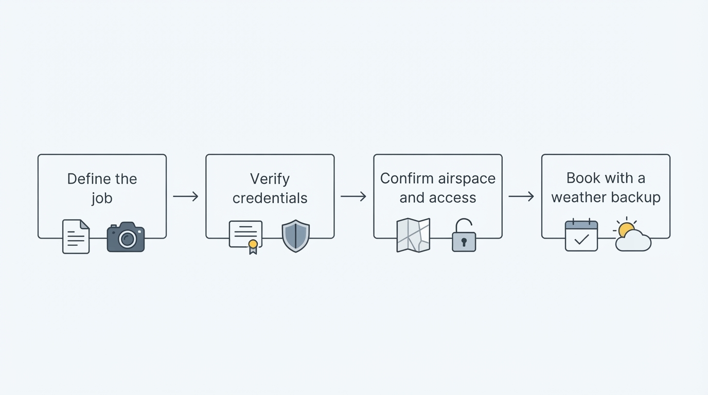
The sequence is short, and the order matters.
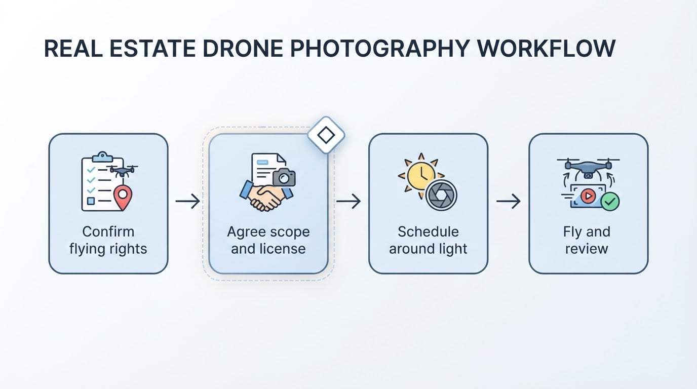
- Describe the property and the goal. Send the address, the lot size, and what matters most: water access, acreage, a new roof, or construction progress.
- Confirm what can be flown. Let the pilot check airspace, restrictions, and local rules before you promise a date to a client.
- Agree the scope and terms in writing. Final image count, video length, delivery date, license terms, and rescheduling.
- Schedule around light. Early morning and late afternoon give the softest light. Straight-down midday light reads land boundaries and terrain more clearly.
- Prepare the property the day before. Mow if the season calls for it, move vehicles, clear bins, and tidy anything visible from the air.
- Fly, then review. Compare the delivered files against the shot list and raise any re-shoot inside the agreed window.
A booking is complete when you hold the files, the written usage terms, and a clear date for anything that needs a second flight.
What to prepare before the flight
The flight itself is usually the shortest part of the job. Preparation decides the result.
Access. Confirm gate codes, parking, and who will meet the pilot. Secure pets indoors.
Neighbors. If the flight path will cross adjacent property, mention it to the neighbor or the listing contact. A short heads-up prevents most complaints.
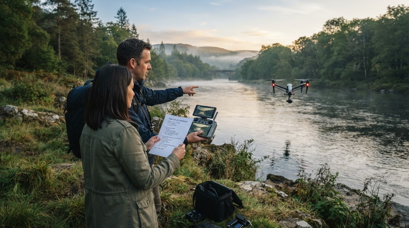
Timing. Check the light, the forecast, and the property's schedule. Avoid the same morning as a cleaning crew, an open house, or a contractor visit.
A brief. Tell the pilot what to emphasize. Point to the feature that sells the property and to any detail that should stay out of frame.
Local rules. Share anything you know about an HOA, a historic district, or a private community's restrictions, even if it seems minor.
Safety. Keep people and pets clear of the takeoff and landing area. The pilot is responsible for the flight, but a clear ground area helps.
Delivery. Confirm who receives the files, in which formats, and by when. If a designer or another agent will handle them, include that person in the confirmation.
Treat the list above as a checklist and walk it the day before the flight, not on the morning of the shoot.
Limits, trade-offs, and where shoots go wrong
A practical guide should say what the tool cannot do.
Weather and airspace cancel flights. Wind, rain, and low visibility can ground a shoot, and airspace restrictions can appear at short notice. Build a buffer into the listing timeline instead of scheduling a flight the day before an open house.
Altitude limits detail. Aerial images show context, not shingle condition or paint quality. They work best alongside interior and detail photography, not instead of it.
Not every property benefits. Using a drone on a standard lot in a subdivision can add cost without adding information. Order the flight when the setting, the land, or the progress genuinely matters.
The cheapest quote is rarely the cheapest job. A low price often excludes insurance, written licensing, or a reschedule policy. Those exclusions tend to surface at the worst possible moment.
Rights get assumed rather than read. Images are usually licensed, not sold, and both the term and the media matter. If a client wants to reuse the images later, confirm the terms before that reuse happens.
Privacy concerns are real. Keep flight paths over the property where practical, and avoid capturing identifiable neighbors or their yards.
Expectations can outrun the location. A pilot cannot create a view that does not exist or remove a neighboring building. If the property's best feature is not visible from the air, aim the budget somewhere else.
What "near me" should mean in practice
A search for real estate drone photography near me returns a list of pilots, but the list itself tells you nothing about coverage or local knowledge. Two things make a provider genuinely local: how far they travel, and whether they know the rules where the property sits. Ask which counties, towns, or regions they cover and how travel is handled. Then ask for one example of a flight in a similar location.
Regional coverage is useful evidence that a capability exists nearby. As one example, Chris Sidoruk Media is a Connecticut photography practice that lists drone photography and video as a separate service line and has published aerial work in its print catalog. The studio licenses imagery for commercial uses that include real-estate marketing, and it works within a New England coverage footprint.
Treat a regional example the way you would treat a sample image: as a starting point for a conversation, not as a substitute for checking certificates, scope, and license terms. If the property sits outside a provider's stated coverage, ask for a referral to someone who works there.
The three confirmations worth having in writing
Before the flight is booked, aim to hold three confirmations in writing:
- The location can be flown under current airspace and local rules, by a named pilot with valid certificates.
- The scope is fixed: number of stills, length of video, delivery date, and who receives the files.
- The license is defined: who may use the images, in which media, and for how long, plus what happens if weather forces a reschedule.
With those three settled, the shoot itself becomes a short, quiet piece of work, and the images do what the listing needs them to do.