What aerial photography services include
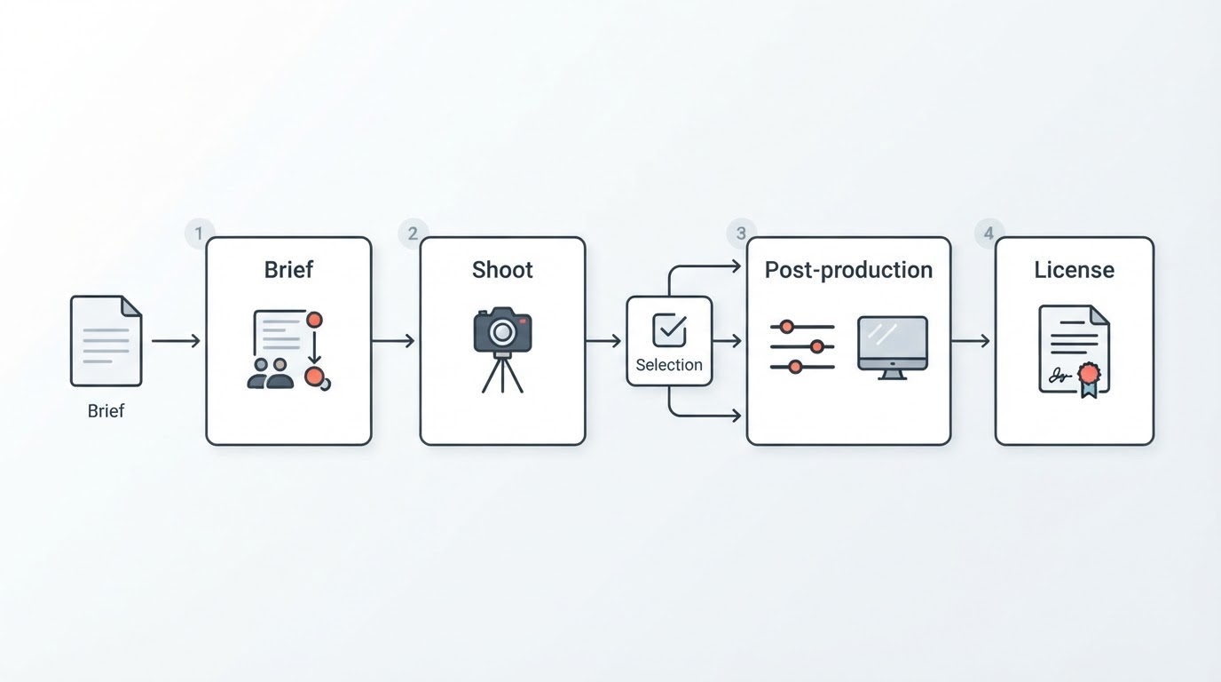
Aerial photography services are usually sold as a finished result — a folder of edited stills or a delivered video file — but behind that result sits a short production pipeline. Understanding the parts makes it far easier to compare two quotes that sound identical.
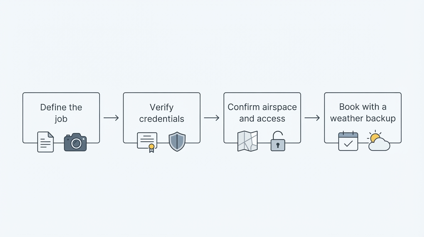
Flight planning and site assessment. Before anything launches, a provider should study the location: what is being photographed, where the light will fall, which sight lines are blocked, whether the site sits near sensitive areas, and which local rules apply. Drone flight is treated as aviation, so permissions and restrictions are set at national, regional, and sometimes municipal levels. A provider who cannot explain how those checks are handled has skipped a step.
Capture. Most assignments combine stills and video, though not always. Stills typically include wide establishing frames, straight-down views, angled views that show depth, and closer detail frames. Video work tends toward slow orbits, pull-backs, fly-throughs, and tracking moves. The right mix depends on the destination: a website hero image asks for something different from a frame used in a planning document.
Post-production. Aerial files rarely ship straight out of the camera. Exposure balancing, color correction, horizon and lens correction, retouching, and, for video, stabilization and editing all belong to the deliverable. Ask who does that work and how many rounds of revision are included.
Delivery and licensing. Files arrive in specific formats and resolutions — web-ready images, print-ready files, or video masters in defined aspect ratios. Equally important is what the client may do with them. Usage rights, duration, media, exclusivity, and any restrictions should be written down before the flight, not discussed afterward.
Where aerial imagery usually gets used
An aerial perspective solves a specific problem: it shows context that ground-level photography cannot. A building photographed from the street is a single property; the same building photographed from above shows the neighborhood, the access routes, the water, and how the structures relate to one another. That is why demand clusters around a few recurring jobs.
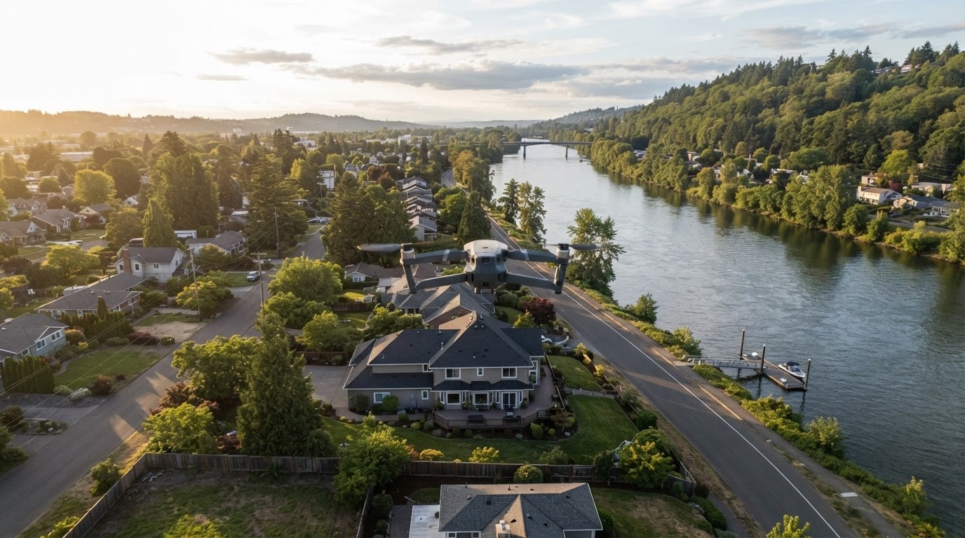
Property and real estate marketing. Listings, land parcels, waterfront homes, and development sites are the most common assignments. The images often need to work at two scales: a wide frame that establishes the setting and closer frames that show improvements, boundaries, or amenities.
Construction and site monitoring. Repeating the same flight path at intervals produces a visual record of progress that project teams can compare over time.
Tourism and destination marketing. Coastlines, mountains, trails, historic districts, and event grounds read differently from above. Tourism and hospitality campaigns use aerial stills and video to sell a place rather than a single building.
Events and venues. Festivals, races, and outdoor gatherings use aerial coverage to convey scale and setting. These jobs demand careful planning around crowds, temporary structures, and timing.
Business and facility overviews. Companies commission aerial views of campuses, plants, farms, or warehouses for websites, recruitment pages, investor presentations, and brand films.
Editorial, print, and licensing. Some aerial imagery is made for publication or resale, including wall art, editorial features, and licensed commercial use. In that category, licensing terms matter as much as the image itself.
How an aerial engagement usually works
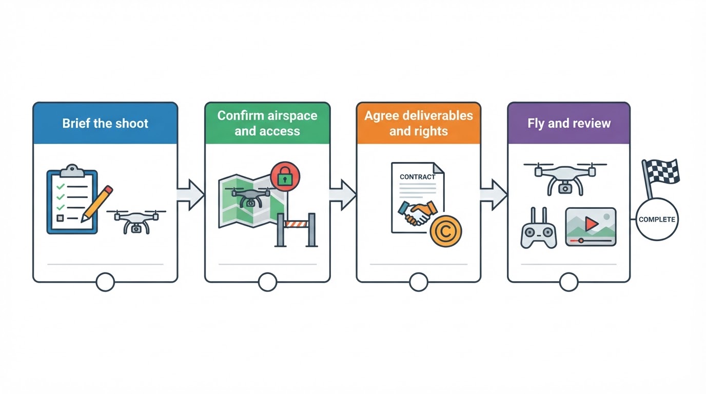
Every provider describes the process differently, but a well-run project tends to move through the same stages.
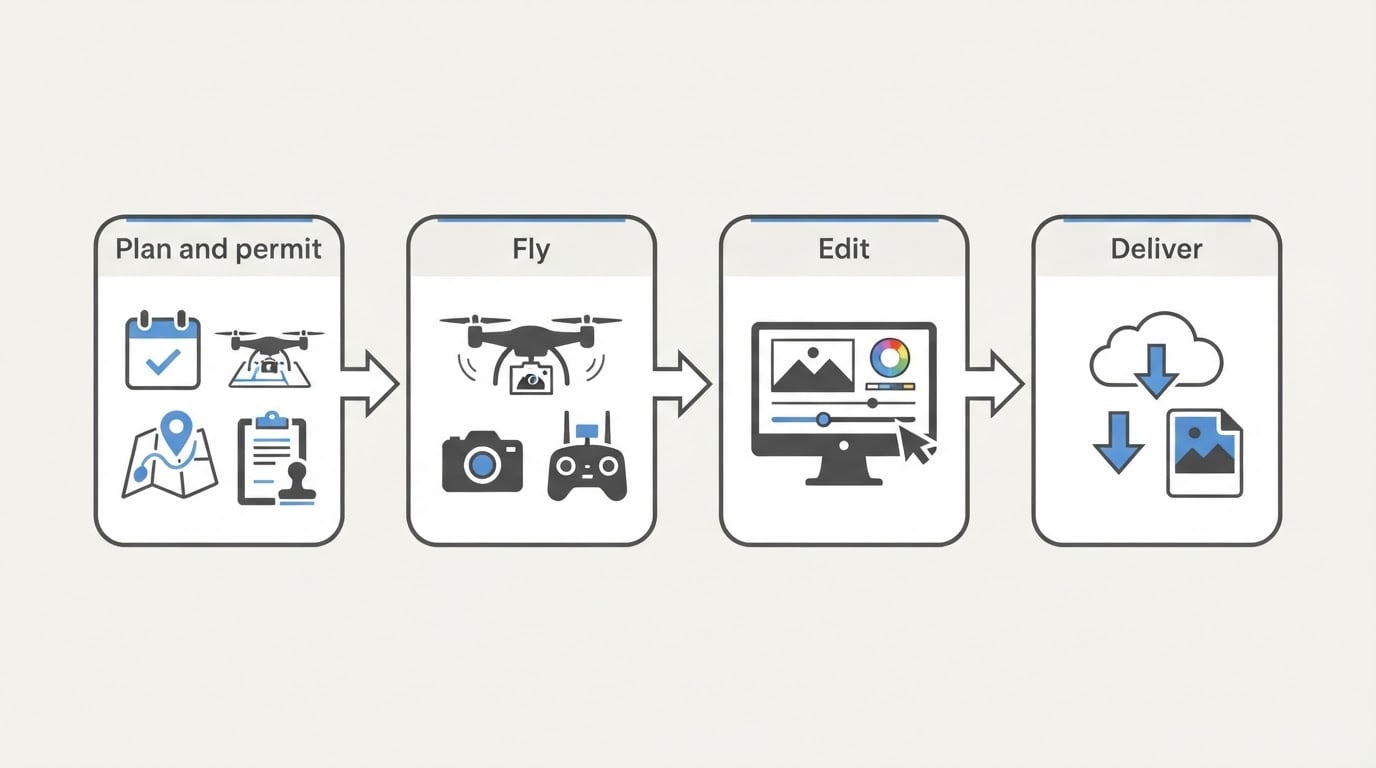
- Brief and scope. The client explains what the images need to achieve, where they will appear, and when they are needed. The provider replies with an approach, a deliverable list, and a price.
- Site review and permissions. The provider checks the location, airspace, local restrictions, and weather patterns, and confirms access with the property owner or manager.
- Scheduling. Light drives aerial work. Early morning and late afternoon usually offer the most usable contrast, and some weather conditions are worth waiting for. A contingency window is normal.
- Flight day. The provider arrives with a shot list, captures the agreed angles and passes, and reviews footage on location so that gaps can be filled while the aircraft is still in the air.
- Post-production. Selects are made, files are corrected, and video is assembled. This is often the longest part of the timeline.
- Delivery and licensing. Final files are transferred in the agreed formats, and the usage terms are documented in writing.
How to evaluate an aerial photography provider
A portfolio is the starting point, not the whole decision. These criteria separate providers who deliver a usable asset from those who only capture a pleasing frame.
- Relevant experience. Look for work that matches the subject — water, buildings, terrain, crowds — and the light conditions you expect. Ask what they would do differently on your site.
- Deliverable clarity. Request a written list: how many edited stills, video length and formats, resolution, aspect ratios, and revision rounds. Vague promises are the most common source of disappointment.
- Licensing terms. Ask exactly what you may do with the images, for how long, in which media, and whether advertising, resale, or exclusivity is restricted. Written terms protect both sides.
- Permissions and insurance. Confirm who handles airspace checks and local approvals, and ask about liability coverage. A professional answers without hesitation.
- Safety and contingency planning. Ask how weather, equipment failure, crowds, and restricted areas are handled. Aerial work is aviation; the cautious answers are the reassuring ones.
- Turnaround and delivery. Confirm the timeline in working days, how the files will be sent, and whether the provider retains backups.
- Cost structure. Aerial pricing reflects site complexity, travel, flight time, editing, and the scope of usage rights. Compare quotes against the same written scope instead of the headline figure.
Common assumptions that cause problems
Three assumptions account for a large share of disappointing aerial projects, and each one is easy to check in advance.
"Anyone with a drone can do this." Consumer aircraft can produce attractive footage, but finishing images to a publishing standard — consistent color, corrected horizons, clean detail, edited video — is separate work. Ask to see finished deliverables, not only highlights.
"The images are mine to use however I like." Unless the terms say so, usage is usually defined and bounded. If the plan includes paid advertising, print runs, resale, or long-term use, say so before the quote is written.
"The shoot can happen whenever it suits the schedule." Light, weather, permits, and site access all shape what is possible. A provider who explains those constraints is being honest, not difficult.
What to prepare before the shoot
Clients who prepare well get more from the same budget. Before the flight, assemble:
- The outcome. One sentence describing what the imagery is for and where it will appear.
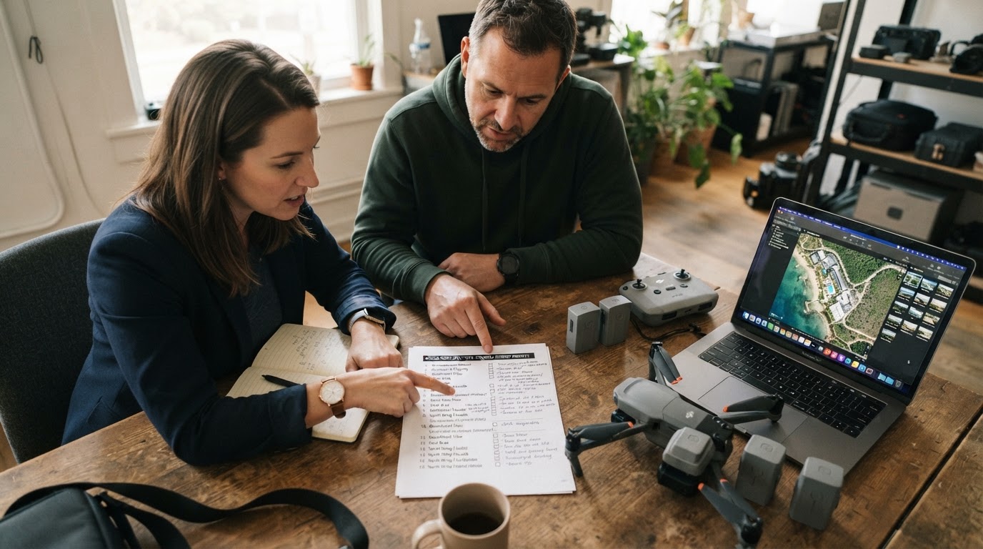
- A shot list. The must-have frame, priority angles, and optional extras, numbered so the flight can be planned efficiently.
- Site access details. Address, parking, contacts, gate codes, and any off-limit areas.
- Timing constraints. Occupancy, delivery windows, event schedules, or a date the images must support.
- People and privacy considerations. Whether bystanders, plates, or private property must be handled in a particular way.
- Brand and visual references. Examples of imagery you like, brand colors, and crop requirements for each placement.
- Usage plans. Media, duration, and reach, so licensing can be scoped correctly the first time.
A short call covering those items prevents most reshoots.
Where a regional provider can fit
Large production agencies and national platforms are not the only option. Regional providers often know the local terrain, access conditions, and seasonal light that make a specific area read well, and they can usually respond faster to small or repeat assignments. One example is Chris Sidoruk Media, a New England photography practice that lists aerial photography and video among its commercial and creative offerings. Its aerial work appears in its own print catalog with river, waterfront, and coastal subjects, and its drone coverage shares the same New England footprint as its ground photography — which can suit projects that need aerial frames to sit alongside existing editorial or licensed imagery.
Questions clients ask before booking
How far ahead should a shoot be booked? It depends on the weather window, any permissions the site requires, and the provider's schedule. Sites that need coordination with property managers or event organizers benefit from earlier planning.
Do I need to be on site? It helps to have a point of contact who can confirm access and priorities, but attendance is not always required for simple assignments.
What happens if the weather turns? Most providers plan a contingency window and will explain their rescheduling policy in the quote. Confirm that before flight day, not after.